Curious what everyday life in Cary feels like? Maybe you work in RTP or downtown Raleigh and want short, predictable routines. Or you’re picturing weekend walks by the lake and easy weeknight errands. In this guide, you’ll see how commutes, parks, greenways, shopping, and neighborhood rhythms come together across Cary so you can decide what fits your lifestyle. Let’s dive in.
Cary at a glance
Cary sits just west of Raleigh and south of Research Triangle Park, which shapes a lot of daily life. Many residents commute to nearby job centers and enjoy suburban neighborhoods with parks and greenways close by. You’ll find a mix of single-family homes, townhomes, and apartments, with varied routines from downtown pockets to newer planned areas. For context on growth and commuting patterns, explore the official summaries in the U.S. Census QuickFacts.
Commute and transportation
Key routes and where you go
Most commuters head toward RTP, downtown Raleigh, or nearby Triangle hubs. Major corridors include I-40 for east-west travel, plus US 1, US 64, and NC 55 depending on your neighborhood. NC 540, the Triangle Expressway with toll segments, offers added options that can improve reliability for some routes. For regional traffic guidance and project updates, check the North Carolina Department of Transportation.
Traffic patterns you can expect
Peak periods mirror other suburban areas. Mornings often build toward RTP and Raleigh, and evenings flow back into Cary. Reliability changes fast when there is an incident on I-40 or a busy arterial, and local events or school calendars can add short-term congestion.
Transit, shuttles, and alternatives
GoTriangle runs regional bus routes that connect Cary with Raleigh, Durham, and RTP. Schedules and frequency vary by time of day, and many routes focus on peak commuting. The Town of Cary also offers local services that can help with first and last mile connections. Biking is most comfortable on Cary’s greenway network and quiet streets, while walking access is strongest in Downtown Cary and a few mixed-use nodes. For maps and planning, start with GoTriangle and the Town of Cary.
Commute planning tips
- Test-drive your route at your target commute time on a weekday.
- Compare a toll route on NC 540 with a non-toll route to gauge time savings.
- If transit matters, verify the nearest stop, park-and-ride, and peak schedules.
- Ask about school start times if you will overlap drop-off or pickup.
Parks and greenways for daily life
Cary invests in a broad system of parks, greenways, and open spaces that support everyday recreation. You’ll see weekday walkers, strollers, and joggers in the mornings, and more team sports and family outings after school and on weekends. Explore park programming through the Town of Cary for up-to-date details.
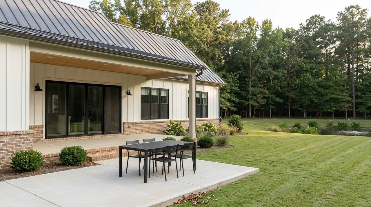
Bond Park for easy outdoor time
Fred G. Bond Metro Park is a go-to spot for trails, open fields, playgrounds, picnic areas, and a lake with seasonal boat rentals. It’s popular for simple weekday walks and full-family weekends. Being within a short drive of Bond Park is a common priority for many buyers.
Hemlock Bluffs for quiet nature
Hemlock Bluffs Nature Preserve offers shaded trails and a more nature-focused experience right in town. It’s a calmer alternative when you want a low-key walk without leaving Cary.
Koka Booth for concerts and events
Koka Booth Amphitheatre anchors outdoor concerts and seasonal events that add energy to Cary’s leisure calendar. Event nights can change traffic patterns near the venue, so plan accordingly. Check the official Booth Amphitheatre schedule for current shows.
Greenways you will use
Cary’s interconnected greenway system, including corridors like White Oak and Black Creek, links many neighborhoods to parks and local destinations. These trails are great for jogging, short bike rides, and quick trips to nearby playgrounds or ballfields.
What to look for when house hunting
- Aim for a 5 to 10 minute drive to a major park you know you’ll use.
- Check the nearest greenway access point, not just whether a trail exists on a map.
- Note amenities you value most, like playgrounds, sports fields, or community centers.
- Ask about seasonal programs such as camps, youth leagues, and outdoor concerts.
Shopping, dining, and daily errands
Downtown Cary for walkable evenings
Downtown Cary around Academy Street is the most walkable cluster, with independent dining, coffee, and local retailers. Weekends and event nights bring extra activity. It has a small-town urban feel with convenient evening options.
Everyday errands on main corridors
For most households, everyday errands happen along major arteries near I-40, Kildaire Farm Road, Cary Parkway, and Davis Drive. You’ll find groceries, pharmacies, banks, fitness, and service businesses in these clusters. Specific tenant mixes change, so verify store brands and locations before you buy.
Weekday and weekend rhythms
Weekdays are about quick stops on the way to or from work and after-school activities. Weekends stretch into shopping trips, farmers markets, and casual dining. Festival dates and concert nights add localized surges near Downtown and Koka Booth.
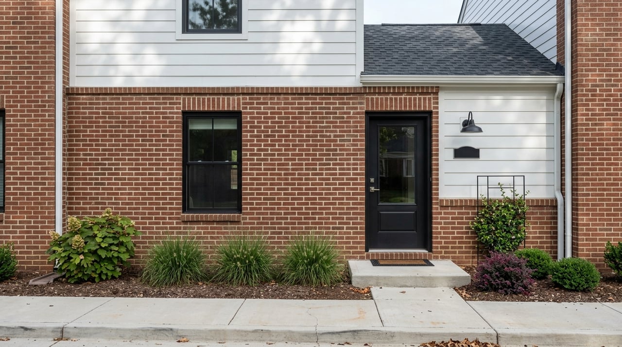
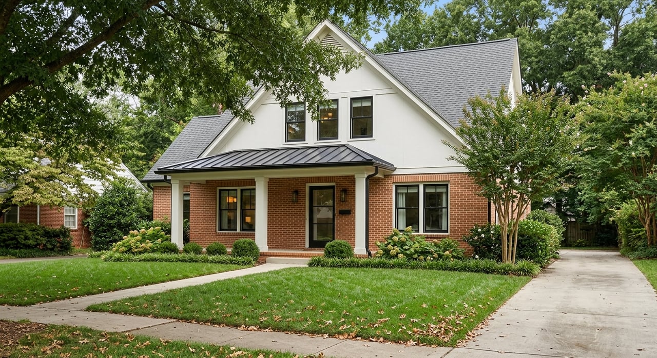
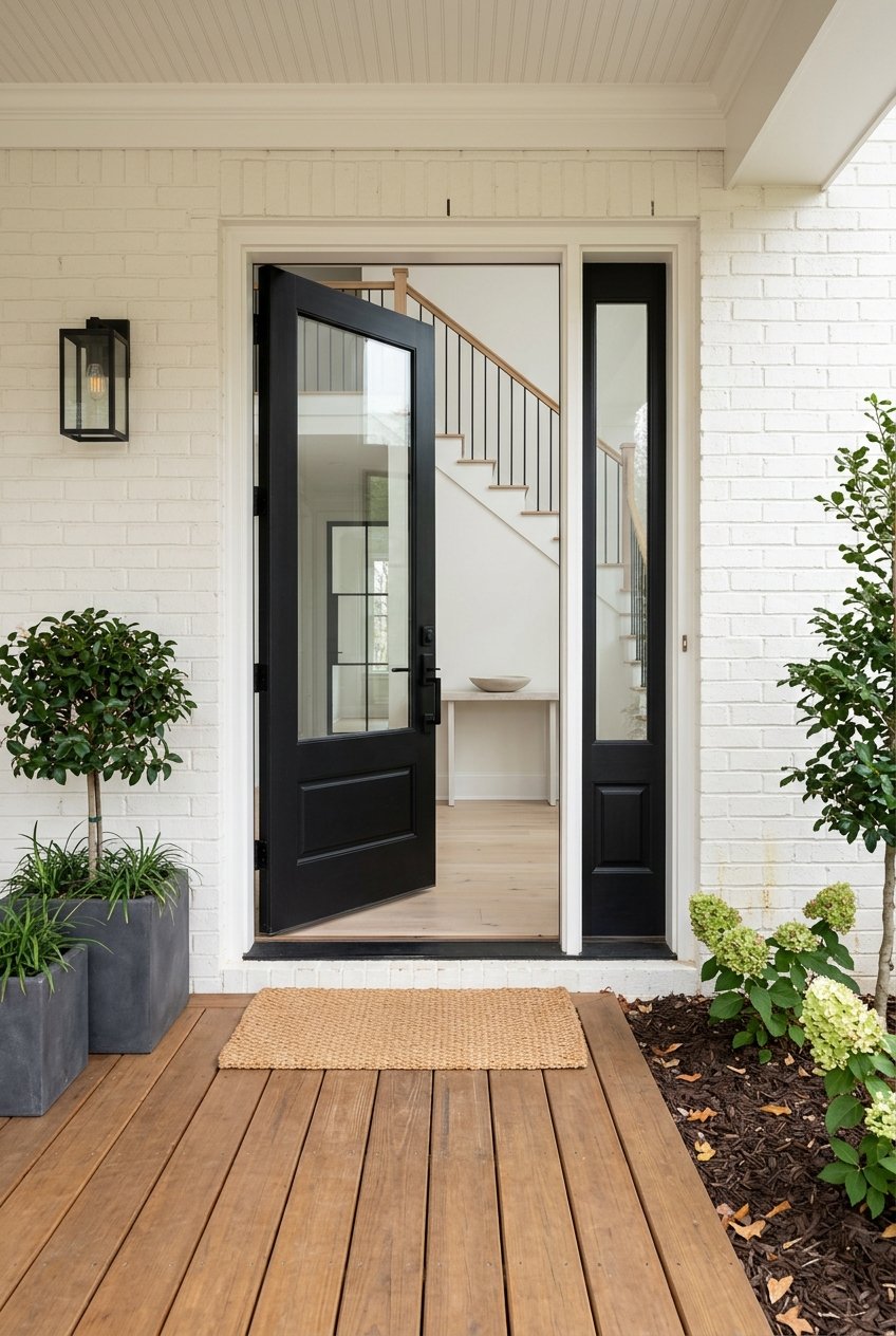
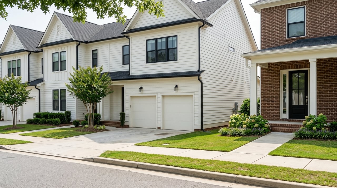
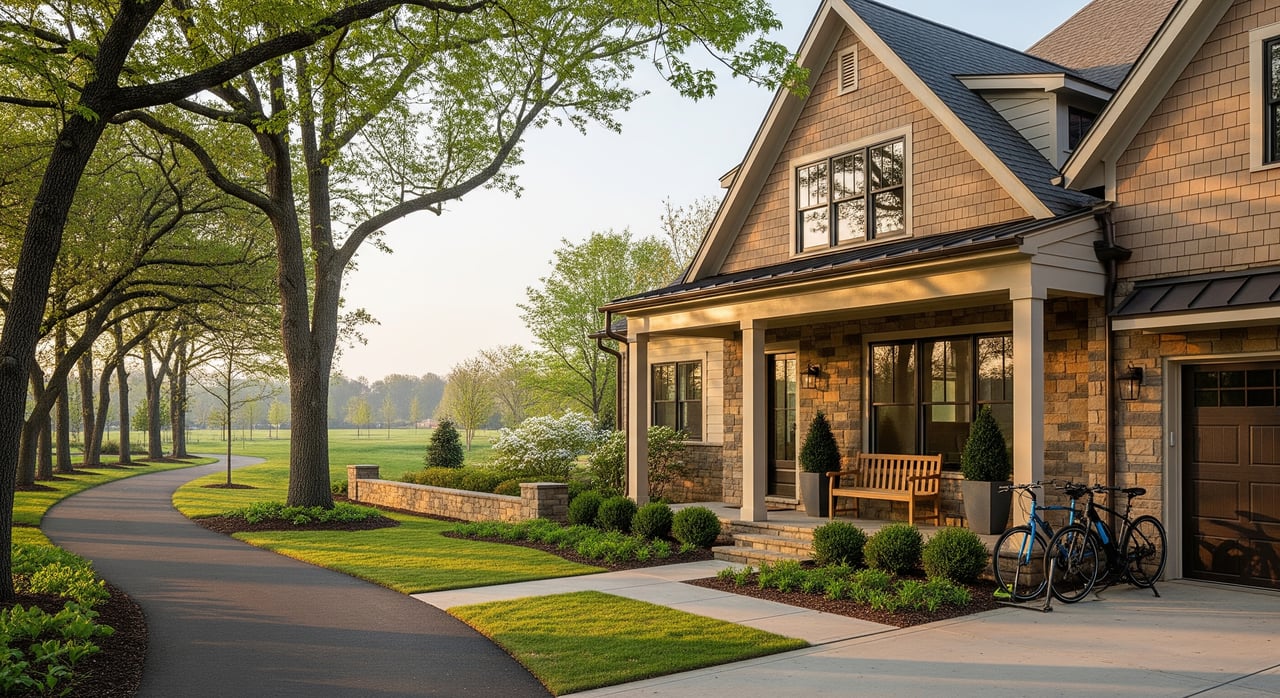
Neighborhood rhythms across Cary
Downtown and historic streets
Near Academy Street, you’ll find the highest walkability and routine street-level activity. Housing ranges from older homes to townhomes and small mixed-use residences. Daily life includes sidewalk dining, coffee runs, and community events.
Established suburban neighborhoods
Central and southern Cary have traditional subdivisions with yards, sidewalks, and neighborhood amenities. Daily rhythms follow school and commute schedules, with parks, pools, and greenways busy in late afternoons and weekends.
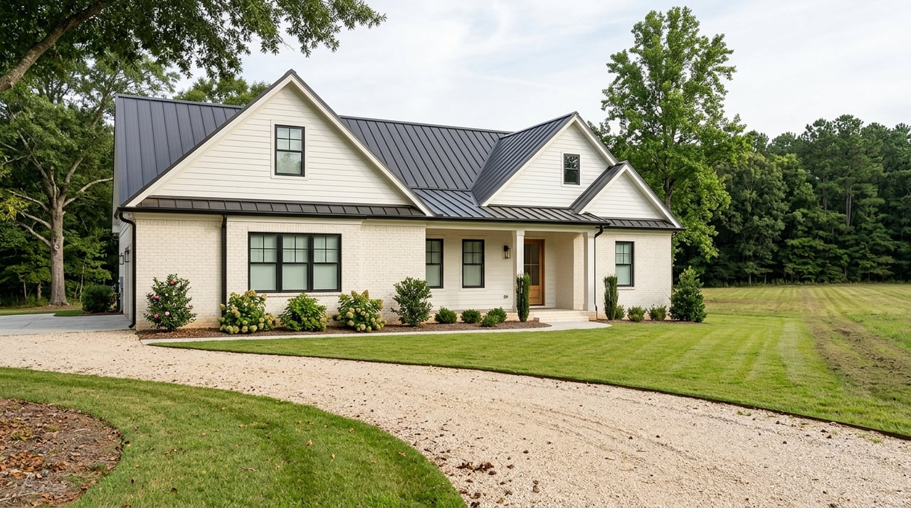
Newer master-planned areas
Newer communities near expressway nodes often include trails, pocket parks, and built-in retail or services. These areas tend to attract households that want newer construction with convenient access to major roads.
Apartments and edge areas
Clusters near major arterials place you close to shopping and quicker highway access. These areas are more car-dependent day to day and may be convenient for commuters who value proximity to I-40 or NC 540.
What shapes the feel of a neighborhood
- School zones and calendars that set family routines.
- HOA design elements such as sidewalks, street trees, and shared amenities.
- Proximity to parks and greenways that invite casual outdoor time.
- Access to major corridors that simplify commutes and errands.
Practical steps before you move
Commute reality check
Try your likely route during actual peak times, and compare alternatives. Reliability can shift with incidents, school calendars, and weather. For road conditions and projects, start with the North Carolina Department of Transportation.
School assignment basics
If school assignment matters, confirm the current Wake County Public School System boundary maps for your exact address. Assignment areas and transportation offerings can change, so verify details directly with WCPSS.
Walkability and bike access
If you care about getting around without a car, compare specific addresses using Walk Score for a quick snapshot. Then ground-truth it by visiting during a weekday morning and evening to see how it feels in real life.
Transit and aging-in-place
If you want the option to ride rather than drive, check nearby bus stops, park-and-ride lots, and service frequency. Begin with GoTriangle for regional routes and the Town of Cary for local services.
Essentials and healthcare
Note your closest grocery, pharmacy, urgent care, and regional hospital network options in Raleigh and Durham. Build your weekly routine around the clusters you will use most often.
How we help you choose with confidence
Every buyer’s routine is different. You might want a short RTP commute, morning greenway walks, or a downtown coffee run to start the day. Our family-led team pairs decades of local knowledge with Compass tools to help you weigh tradeoffs like commute routes, park access, and future resale. If you are selling, we use professional preparation and marketing, including Compass Concierge where eligible, to position your home’s lifestyle strengths for today’s buyers.
Ready to explore neighborhoods that fit your day-to-day life in Cary? Reach out to Hendren Realty Group to walk through options, preview routes and parks, and plan your next move.
Hendren Realty Group | Request a free home consultation & valuation
FAQs
What are the main commute routes from Cary?
- I-40, US 1, US 64, NC 55, and NC 540 are the primary corridors toward RTP, Raleigh, and other Triangle job centers. For traffic and projects, see the North Carolina Department of Transportation.
How walkable is Downtown Cary for daily errands?
- Downtown Cary offers the strongest walkability with clustered dining and shops, while most areas are car-oriented. Compare specific addresses with Walk Score before you decide.
Which parks do Cary residents use most often?
- Fred G. Bond Metro Park and Hemlock Bluffs are everyday favorites for trails and nature, and Koka Booth Amphitheatre provides concerts and seasonal events. Start with the Town of Cary for park information and Booth Amphitheatre for the event calendar.
How does public transit work for Cary commuters?
- GoTriangle connects Cary to regional destinations like RTP and Raleigh, and the Town of Cary runs local services. Check both for routes, park-and-ride options, and peak schedules.
How do Wake County schools affect a home search in Cary?
- School zones can shape daily routines and commute timing. Confirm current assignments and transportation directly with the Wake County Public School System before you buy.
Is biking a realistic option for getting around Cary?
- Greenways are excellent for recreation and short connections, and some neighborhoods have on-street options. Bike commuting on major arterials is limited, so plan routes with trails where possible.